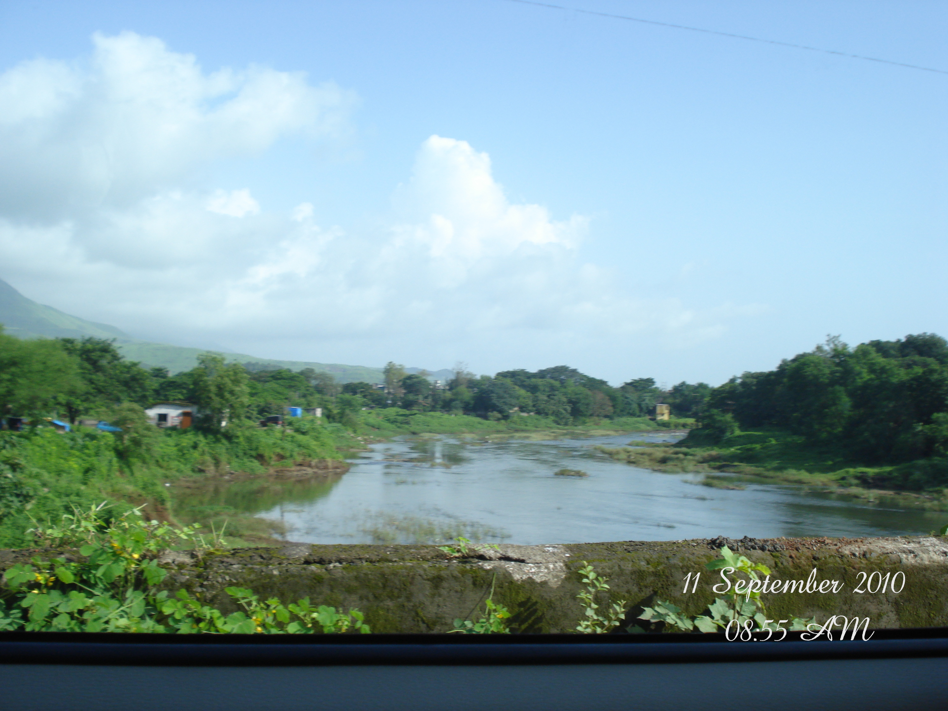
Karjat is changing fast. For years, people knew this region only as a weekend getaway filled with farmhouses, heavy monsoons, and trekking trails. Today, that narrative is shifting. Karjat is transitioning into a planned urban hub, driven by structured government frameworks and massive regional infrastructure expansions.
If you are looking at the region for real estate investment, homeownership, or urban planning, understanding the karjat development plan is critical. This guide breaks down the timelines, zoning laws, regional authorities, and karjat projects shaping the area's future.
What is the Karjat DP Plan?
A Development Plan (DP) is a statutory document that guides the future growth and land use of a city or region under the Maharashtra Regional and Town Planning (MRTP) Act.
The karjat dp plan dictates how every square inch of land in the region can be utilized. It categorizes land into specific zones such as:
- Residential Zones: Areas designated for housing, apartments, and townships.
- Commercial Zones: Spaces meant for business hubs, retail, and offices.
- Agricultural Zones: Land strictly protected for farming.
- No-Development Zones (NDZ): Ecologically sensitive areas, riverbeds, and forest buffers where construction is heavily restricted or prohibited.
For a common buyer or investor, understanding the DP plan prevents costly mistakes. Buying property in a residential zone ensures clear titles and legal approvals, whereas building in an agricultural or NDZ zone without proper conversion can lead to legal complications.
Karjat Master Plan 2036 vs. Draft Development Plan 2021 to 2046
When researching urban planning documents for this region, you will likely encounter two overlapping timelines. Clarifying these documents helps eliminate confusion:
- Karjat Master Plan 2036: This serves as the foundational baseline framework that has governed regional zoning, basic road networks, and municipal limits for years. It laid down the initial structure for Karjat’s transition from a rural pocket to an organized municipal council area.
- Draft Development Plan 2021 to 2046: This is the updated, long-term vision document covering notified villages across the Khalapur and Karjat talukas. It accommodates rapid population growth, expanding industrial corridors, new highway alignments, and active interventions by the Mumbai Metropolitan Region Development Authority (MMRDA).
Key Differences & Upgrades
The newer draft plan focuses heavily on higher Floor Space Index (FSI) along transit corridors, designates more land for public amenities (schools, hospitals, parks), and introduces modern waste management and water grid reservations to support future urban influx.
MMRDA Development Plan for Karjat: A Regional Perspective
Karjat does not develop in isolation. The mmrda development plan karjat integrates the region into the broader Mumbai Metropolitan Region (MMR).
As regional growth spills out of Mumbai, Thane, and Navi Mumbai, MMRDA has taken an active interest in peripheral towns like Karjat, Panvel, and Kalyan. MMRDA handles strategic infrastructure that local municipal councils cannot fund or manage alone, including:
- Inter-district arterial roads and ring roads.
- Mass transit integration and commuter rail upgrades.
- Regional water supply grids and sewage treatment plants.
By bringing Karjat under regional planning oversight, MMRDA aims to prevent haphazard construction and ensure that infrastructure precedes population growth.
Karjat Development Plan PDF Download: How to Access Official Maps
Many investors search for a karjat development plan pdf download to inspect specific village maps, reservation plots, and survey numbers.
Karjat Draft Development Plan 2021–2046
Official Draft DP Gazette & Report PDF (4.4 MB)
To view or download the official documents without falling for outdated or unverified third-party files, follow these steps:
- Visit the official portal of the Directorate of Town Planning, Maharashtra or the MMRDA Official Website.
- Navigate to the "Planning", "Development Plans", or "Urban Planning" section.
- Look for the Raigad district or Karjat Municipal Council jurisdiction files.
- Download the Draft Development Plan Report and the corresponding DP Sheets/Zoning Maps.
What to look for in the PDF: Check your specific survey number against the designated land-use color codes, proposed road widths, and public reservations to ensure your land parcel is clear of government reservations.
Available Online Reference Documents
For quick reference, you can access the official regional planning documents directly:
- Direct Download: Download the Karjat Draft Development Plan 2021–2046 PDF (Direct Link)
- For structured structural blueprints, refer to the foundational documentation in the Karjat Master Plan Overview.
- For localized layout configurations, segment sheets like the Draft Development Plan 2021-2046 Sheet G4 and Sheet H4 outline zoning classifications for notified pockets in the Karjat-Khalapur belt.
- To view interactive overlays mapped over regional topologies, tools like the Karjat MSRDC Corridor DP Map Explorer offer localized boundary tracking.
Upcoming Government Projects in Karjat
Infrastructure drives real estate value. Several upcoming government projects in karjat are currently in various stages of survey, approval, or execution:
- Railway Upgrades: The crucial Karjat-Panvel railway line and ongoing line-doubling and quadrupling projects on the Central Railway network are designed to drastically reduce commute times and improve suburban frequency.
- Road Networks: Proposals to widen state highways connecting Karjat to the Mumbai-Pune Expressway (NH-48) and the upcoming Navi Mumbai International Airport corridors.
- Water Supply and Sewage Grids: Government-backed infrastructure projects to source water from nearby dams and establish centralized sewage treatment plants to support high-density residential layouts.
- Social Infrastructure: Land allocations in the draft DP for educational institutions, medical hubs, and open recreational spaces.
Is Karjat a Part of Mumbai 3.0?
A frequent question among real estate buyers is whether Karjat belongs to "Mumbai 3.0."
While Karjat is not inside the municipal limits of the Brihanmumbai Municipal Corporation (BMC), it is a vital pillar of the "Mumbai 3.0" vision. Mumbai 3.0 refers to the functional expansion of the Mumbai Metropolitan Region into outer satellite belts (such as Panvel, Karjat, Kalyan-Shilphata, and Vasai-Virar). Because central Mumbai is saturated, affordable land availability, massive rail connectivity, and scenic topography make Karjat a primary target for planned urban expansion.
Karjat to Mumbai Distance & Connectivity Upgrades
Understanding the karjat to mumbai distance is essential for daily commuters and weekend homeowners alike:
- By Road: The distance is approximately 65 to 75 km depending on your exact starting point in Mumbai and destination in Karjat. Via the Mumbai-Pune Expressway or NH-48, travel time typically ranges from 1.5 to 2.5 hours, subject to traffic conditions.
- By Rail: Karjat is a major railway junction on the Central Railway line. Fast local trains and express services connect Karjat to Chhatrapati Shivaji Maharaj Terminus (CSMT) in approximately 1 hour 45 minutes to 2 hours.
Upcoming road widenings and railway capacity enhancements are slated to shave travel times down, making daily or semi-regular commutes more manageable.
Impact of the Development Plan on Real Estate in Karjat
Urban planning directly shapes property prices. The formalization of the DP plan brings regulatory clarity, which attracts institutional developers and organized builders.
- Price Appreciation: Areas situated close to proposed railway terminals, widened state highways, and designated residential zones generally experience healthier capital appreciation.
- Reduced Risk: Clear zoning laws protect buyers from purchasing land slated for public acquisition or environmental restriction.
- Shift from Plots to Townships: With proper infrastructure guidelines in place, Karjat is seeing a shift away from isolated farmhouses toward integrated plotted developments, gated communities, and mid-range apartment projects.
Conclusion: The Future of Karjat
The evolution of Karjat from a quiet rural escape to a regulated urban node demonstrates proactive regional planning. The transition from older master frameworks to the comprehensive Draft DP 2021-2046 shows that the government anticipates high growth in the Raigad belt.
If you plan to buy property or invest in the region, always verify survey numbers against the official MMRDA and Town Planning maps, track active infrastructure milestones, and approach your investments with a long-term outlook.
Frequently Asked Questions (FAQs)
1. Is Karjat a part of Mumbai 3.0?
Yes. While it is not within Mumbai's municipal boundaries, Karjat functions as a key satellite city in the expanded MMR region driving the Mumbai 3.0 vision due to land availability and transit connectivity.
2. What are the major upcoming Karjat projects?
Major projects include the Karjat-Panvel rail line expansion, railway quadrupling, highway widening connecting to NH-48, and regional water grid implementations.
3. What is the Karjat to Mumbai distance?
It is roughly 65–75 km by road (about 1.5 to 2.5 hours via NH-48) and around 1 hour 45 minutes to 2 hours by train from CSMT.
4. Where can I find the Karjat development plan PDF download?
You can directly download the official document here: Download Draft DP 2021–2046 PDF (4.4 MB), or access state-level planning portals directly through the official Directorate of Town Planning Maharashtra and MMRDA portals.
5. What is the difference between the Karjat Master Plan 2036 and the Draft DP 2021-2046?
The 2036 plan serves as the older, baseline framework for the region, whereas the Draft DP 2021-2046 is the updated, long-term vision document designed to accommodate future population growth and infrastructure demands.