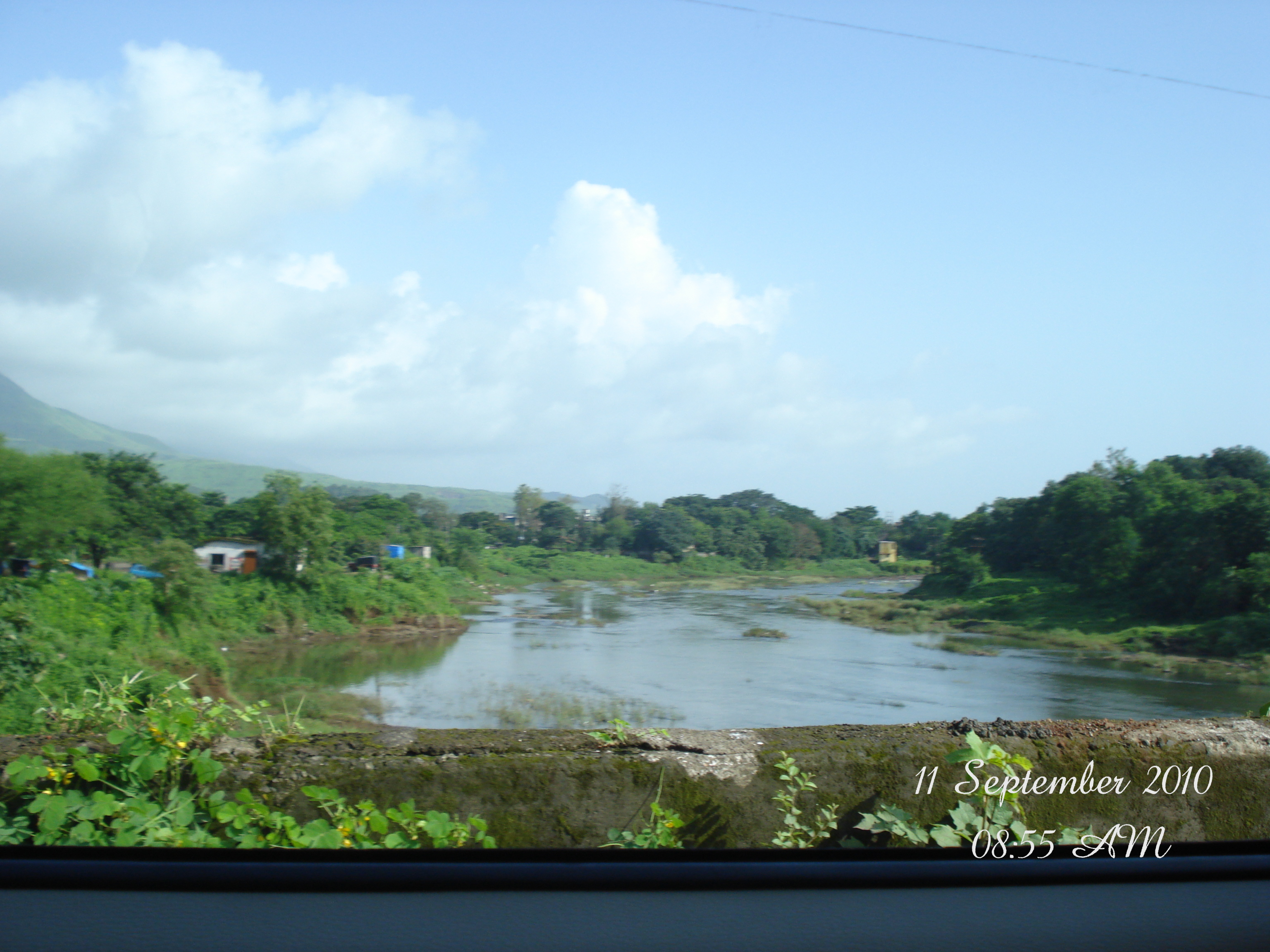
Karjat Taluka (Tehsil) in the Raigad district of Maharashtra encompasses a diverse mix of historic hill stations, thriving transit towns, and 176 scenic agricultural and foothill villages nestled along the Western Ghats.
Whether you are researching ancestry records, evaluating agricultural or non-agricultural (NA) land parcels for investment, verifying Gram Panchayat jurisdictions, or studying demographic shifts within the Mumbai Metropolitan Region (MMR), having an exact census-verified directory is essential.
According to official Census records, Karjat Taluka has a total population of 212,051 across 3 urban centers (Towns) and 176 rural revenue villages. Below is the complete tabulated data with direct links to official census village abstracts, population rankings, and demographic highlights.
Towns in Karjat Taluka
Karjat taluka contains 3 distinct urban settlements classified under civic administration. Together, they account for 52,485 residents (24.75% of the taluka's total population).
| # | Town Name | Civic Classification / State | Population |
|---|---|---|---|
| 1 | Karjat Municipal Council | Maharashtra | 29,663 |
| 2 | Neral Census Town | Maharashtra | 18,429 |
| 3 | Matheran Municipal Council | Maharashtra | 4,393 |
Top 10 Largest Villages in Karjat Taluka
While the majority of Karjat's rural settlements are compact hamlets (average village size is ~906 residents), several large gram panchayats serve as key market towns, education hubs, and primary health centres.
| Rank | Village Name | Taluka | Population |
|---|---|---|---|
| 1 | Kalamb | Karjat | 4,756 |
| 2 | Kadav | Karjat | 3,204 |
| 3 | Kashele | Karjat | 2,875 |
| 4 | Khandas | Karjat | 2,833 |
| 5 | Damat | Karjat | 2,556 |
| 6 | Poshir | Karjat | 2,532 |
| 7 | Bhadwal | Karjat | 2,369 |
| 8 | Bandhiwali | Karjat | 2,330 |
| 9 | Vengaon | Karjat | 2,137 |
| 10 | Pathraj | Karjat | 2,121 |
Complete List of All 176 Villages in Karjat Taluka
Below is the complete official Census directory covering all 176 revenue villages in Karjat Taluka with population figures and direct links to each village's official Census record.
| # | Village Name | Taluka | Population |
|---|---|---|---|
| 1 | Adivali | Karjat | 210 |
| 2 | Ambherpada | Karjat | 815 |
| 3 | Ambiwadi T. Kothal Khalati | Karjat | 403 |
| 4 | Ambiwali Bk. | Karjat | 593 |
| 5 | Ambot | Karjat | 801 |
| 6 | Anjap | Karjat | 810 |
| 7 | Antrat T. Need | Karjat | 773 |
| 8 | Antrat T. Waredi | Karjat | 1,088 |
| 9 | Ardhe | Karjat | 863 |
| 10 | Arvand | Karjat | 525 |
| 11 | Asal | Karjat | 1,216 |
| 12 | Ase | Karjat | 194 |
| 13 | Ashane | Karjat | 774 |
| 14 | Avalas | Karjat | 615 |
| 15 | Awasare | Karjat | 427 |
| 16 | Baliware | Karjat | 1,220 |
| 17 | Bamnoli | Karjat | 167 |
| 18 | Bandhiwali | Karjat | 2,330 |
| 19 | Banjarwadi | Karjat | 1,239 |
| 20 | Bardi | Karjat | 626 |
| 21 | Barne | Karjat | 879 |
| 22 | Bedisgaon | Karjat | 1,462 |
| 23 | Bekare | Karjat | 1,171 |
| 24 | Bendase | Karjat | 279 |
| 25 | Bhadwal | Karjat | 2,369 |
| 26 | Bhaliwadi | Karjat | 1,236 |
| 27 | Bhansoli | Karjat | 420 |
| 28 | Bhatgaon | Karjat | 204 |
| 29 | Bhivpuri | Karjat | 611 |
| 30 | Bhoirwadi | Karjat | 611 |
| 31 | Bhutiwali | Karjat | 489 |
| 32 | Bid Bk. | Karjat | 1,857 |
| 33 | Birdole | Karjat | 671 |
| 34 | Bopele | Karjat | 593 |
| 35 | Borgaon | Karjat | 996 |
| 36 | Boriwali | Karjat | 502 |
| 37 | Borle | Karjat | 216 |
| 38 | Chafewadi | Karjat | 927 |
| 39 | Chai | Karjat | 805 |
| 40 | Chandhai | Karjat | 1,175 |
| 41 | Chevane | Karjat | 529 |
| 42 | Chinchawali | Karjat | 755 |
| 43 | Chinchwali | Karjat | 689 |
| 44 | Chochi | Karjat | 792 |
| 45 | Dahigaon | Karjat | 441 |
| 46 | Dahiwali T. Waredi | Karjat | 696 |
| 47 | Damat | Karjat | 2,556 |
| 48 | Deopada | Karjat | 1,706 |
| 49 | Deulwadi | Karjat | 1,339 |
| 50 | Dhak | Karjat | 270 |
| 51 | Dhakatevengaon | Karjat | 1,512 |
| 52 | Dhamni | Karjat | 1,507 |
| 53 | Dhamote | Karjat | 1,594 |
| 54 | Dhotre | Karjat | 962 |
| 55 | Diksal | Karjat | 1,472 |
| 56 | Done | Karjat | 370 |
| 57 | Eksal | Karjat | 1,017 |
| 58 | Garpoli | Karjat | 795 |
| 59 | Gaulwadi | Karjat | 1,233 |
| 60 | Gaurkamat | Karjat | 1,889 |
| 61 | Gudhavan | Karjat | 844 |
| 62 | Haliwali | Karjat | 1,523 |
| 63 | Hedawali | Karjat | 1,014 |
| 64 | Humgaon | Karjat | 602 |
| 65 | Injiwali | Karjat | 312 |
| 66 | Jambhiwali | Karjat | 405 |
| 67 | Jambrung | Karjat | 1,515 |
| 68 | Jite | Karjat | 901 |
| 69 | Kadav | Karjat | 3,204 |
| 70 | Kalamb | Karjat | 4,756 |
| 71 | Kalamboli Tarf Waredi | Karjat | 445 |
| 72 | Kashele | Karjat | 2,875 |
| 73 | Khadyachapada | Karjat | 427 |
| 74 | Khanand | Karjat | 490 |
| 75 | Khandape | Karjat | 918 |
| 76 | Khandas | Karjat | 2,833 |
| 77 | Kharwandi | Karjat | 300 |
| 78 | Kikavi | Karjat | 852 |
| 79 | Kirawali | Karjat | 1,260 |
| 80 | Kolhare | Karjat | 1,357 |
| 81 | Kolhiwali | Karjat | 532 |
| 82 | Kondhane | Karjat | 444 |
| 83 | Kondiwade | Karjat | 797 |
| 84 | Kondiwale | Karjat | 633 |
| 85 | Koshane | Karjat | 846 |
| 86 | Kothimbe | Karjat | 994 |
| 87 | Kumbhe | Karjat | 383 |
| 88 | Kundalaj | Karjat | 746 |
| 89 | Kurung | Karjat | 673 |
| 90 | Kushiwali | Karjat | 360 |
| 91 | Ladiwali | Karjat | 854 |
| 92 | Male | Karjat | 1,482 |
| 93 | Malegaon T. Kothal Khalati | Karjat | 430 |
| 94 | Malegaon T. Waredi | Karjat | 854 |
| 95 | Mamdapur | Karjat | 1,988 |
| 96 | Mandawane | Karjat | 1,473 |
| 97 | Mangaon T. Wasare | Karjat | 530 |
| 98 | Mangaon Tarf Waredi | Karjat | 1,891 |
| 99 | Maniwali | Karjat | 1,280 |
| 100 | Mankiwali | Karjat | 60 |
| 101 | Margachiwadi | Karjat | 362 |
| 102 | Markewadi | Karjat | 790 |
| 103 | Mircholi | Karjat | 191 |
| 104 | Mograj | Karjat | 630 |
| 105 | Mohili T. Waredi | Karjat | 166 |
| 106 | Mohili T. Wasare | Karjat | 456 |
| 107 | Mugape | Karjat | 307 |
| 108 | Mulgaon T. Wasare | Karjat | 580 |
| 109 | Naldhe | Karjat | 469 |
| 110 | Nandgaon | Karjat | 915 |
| 111 | Nangurle | Karjat | 378 |
| 112 | Nasarapur | Karjat | 508 |
| 113 | Newali | Karjat | 524 |
| 114 | Newali | Karjat | 1,013 |
| 115 | Nikhop | Karjat | 274 |
| 116 | Olman | Karjat | 961 |
| 117 | Palasdari | Karjat | 1,246 |
| 118 | Pali T. Kothal Khalathi | Karjat | 1,075 |
| 119 | Pali T. Waredi | Karjat | 651 |
| 120 | Parade | Karjat | 94 |
| 121 | Pashane | Karjat | 1,856 |
| 122 | Pathraj | Karjat | 2,121 |
| 123 | Peth | Karjat | 273 |
| 124 | Pimpalpada | Karjat | 156 |
| 125 | Pimploli Bk. | Karjat | 1,382 |
| 126 | Pinglas | Karjat | 954 |
| 127 | Pohi | Karjat | 413 |
| 128 | Posari | Karjat | 900 |
| 129 | Poshir | Karjat | 2,532 |
| 130 | Potal | Karjat | 1,111 |
| 131 | Rajape | Karjat | 517 |
| 132 | Saidongar | Karjat | 21 |
| 133 | Salokh T. Need | Karjat | 835 |
| 134 | Salokh Tarf Waredi | Karjat | 1,907 |
| 135 | Salpe | Karjat | 609 |
| 136 | Salvad | Karjat | 451 |
| 137 | Sandashi | Karjat | 357 |
| 138 | Sangavi | Karjat | 590 |
| 139 | Sapele | Karjat | 369 |
| 140 | Savale | Karjat | 1,216 |
| 141 | Savele | Karjat | 640 |
| 142 | Sawargaon | Karjat | 726 |
| 143 | Shelu | Karjat | 1,374 |
| 144 | Shilar | Karjat | 782 |
| 145 | Shingdhol | Karjat | 471 |
| 146 | Shirshe | Karjat | 805 |
| 147 | Sugave | Karjat | 1,329 |
| 148 | Tadwadi | Karjat | 822 |
| 149 | Takave | Karjat | 780 |
| 150 | Talawali | Karjat | 110 |
| 151 | Talwade | Karjat | 871 |
| 152 | Tambas | Karjat | 485 |
| 153 | Tamnath | Karjat | 1,056 |
| 154 | Tatyachiwadi | Karjat | 255 |
| 155 | Tembhare | Karjat | 396 |
| 156 | Tighar | Karjat | 679 |
| 157 | Tiwane | Karjat | 216 |
| 158 | Tiware | Karjat | 913 |
| 159 | Tungi | Karjat | 315 |
| 160 | Ukrul | Karjat | 1,539 |
| 161 | Umroli | Karjat | 880 |
| 162 | Vadap | Karjat | 1,340 |
| 163 | Vaijanath | Karjat | 1,526 |
| 164 | Vakas | Karjat | 1,408 |
| 165 | Varai T. Need | Karjat | 471 |
| 166 | Varne | Karjat | 584 |
| 167 | Vengaon | Karjat | 2,137 |
| 168 | Wadawali | Karjat | 612 |
| 169 | Wadawali Tarf Waredi | Karjat | 629 |
| 170 | Wanjale | Karjat | 737 |
| 171 | Wanjarpada | Karjat | 1,125 |
| 172 | Warai Tarf Waredi | Karjat | 419 |
| 173 | Ware | Karjat | 1,648 |
| 174 | Wave | Karjat | 602 |
| 175 | Wavloli | Karjat | 595 |
| 176 | Zugarewadi | Karjat | 760 |
Key Geographic and Regional Clusters in Karjat
The 176 villages of Karjat Taluka can be categorized into four primary socio-geographic corridors, each with distinct micro-economies and connectivity:
- Suburban Railway Corridor: Villages along the Central Railway main line between Vangani, Neral, Bhivpuri Road, and Karjat junction (such as Shelu, Damat, Bhivpuri, Diksal, Vakas, Palasdari, and Kirawali). These areas feature rapid suburban development and commuter access to Mumbai and Thane.
- Sahyadri Foothill and Trekking Belt: Hamlets nestled at the base of the Western Ghats (including Khandas, Bekare, Kondhane, Vadap, Jambrung, Salpe, and Sandashi). These serve as base points for Kothaligad (Peth Fort) and Kondana Buddhist Caves, with numerous eco-tourism retreats and seasonal waterfalls.
- Pej and Ulhas River Agricultural Valleys: Fertile plains along the Karjat–Murbad highway irrigated by the perennial Pej and Ulhas rivers (including Kadav, Kashele, Kalamb, Pinglas, Dahigaon, Mandawane, and Sugave), known for paddy farming, luxury farmhouses, and resorts.
- Southern Corridor and Expressway Belt: Settlements bordering Khopoli, Khalapur, and the Mumbai–Pune Expressway approach (such as Palasdari, Chochi, Tiware, Wave, Kondiwade, and Bid Bk.), offering scenic lakefront locations and highway access.
Karjat Taluka Demographics: Literacy, Sex Ratio & Population
As documented in official Census abstracts for Raigad district, Karjat taluka presents a healthy literacy profile and a well-balanced gender distribution:
| Demographic Metric | Rural (176 Villages) | Urban (3 Towns) | Taluka Total |
|---|---|---|---|
| Total Population | 159,566 | 52,485 | 212,051 |
| Male Population | 81,592 | 27,015 | 108,607 |
| Female Population | 77,974 | 25,470 | 103,444 |
| Sex Ratio (Females per 1,000 Males) | 956 | 943 | 952 |
| Average Literacy Rate | 75.8% | 86.2% | 78.4% |
Religious Demographics in Karjat Taluka
The religious composition across the sub-district reflects Konkan's historic cultural fabric:
| Religion | Approximate Share | Demographic Distribution |
|---|---|---|
| Hindu | 88.5% | Prevalent across all 176 rural villages and urban areas |
| Buddhist | 6.2% | Distributed across historical hamlets and rural gram panchayats |
| Muslim | 4.1% | Clustered primarily in commercial urban centres like Karjat town, Neral, and Kashele |
| Other Communities (Jain, Christian, Others) | 1.2% | Concentrated in trading centres and Matheran hill station |
Land Buying and Administrative Jurisdictions
When looking to purchase farmhouses, agricultural land, or residential NA plots across these 176 villages, understanding the administrative jurisdiction is critical:
- Gram Panchayat Jurisdiction: In rural villages, local construction permissions within village Gaothan limits traditionally fall under the Gram Panchayat. However, for Non-Agricultural (NA) conversions, approvals must come from the Sub-Divisional Officer (SDO) or District Collector.
- MMRDA Regional Plan & CIDCO NAINA Influence: Parts of western and north-western Karjat taluka lie within the influence zones of the MMRDA Regional Plan and the peripheral boundary of the Navi Mumbai Airport Notified Area (NAINA). Always verify zoning on the DP master sheets before finalizing transactions.
- Check 7/12 Extract (Satbara Utara) & Mutation Entries: Each of the 176 villages has a dedicated Talathi office maintaining land ownership registers. Before investing, ensure title verification via the Maharashtra Mahabhulekh digital records portal.
Frequently Asked Questions
How many total villages are in Karjat Taluka?
Karjat Taluka contains 176 revenue villages and 3 urban settlements (Karjat Municipal Council, Neral Census Town, and Matheran Municipal Council), bringing the total count to 179 administrative settlements.
Which is the most populous village in Karjat Taluka?
Kalamb is the largest village by population in Karjat Taluka with 4,756 residents, followed closely by Kadav (3,204), Kashele (2,875), and Khandas (2,833).
What is the total population of Karjat Taluka?
As per official Census records, the total population of Karjat Taluka is 212,051, with 159,566 people residing in rural villages and 52,485 residing in urban towns.
Which district does Karjat Taluka belong to?
Karjat is a sub-district (tehsil/taluka) of Raigad District in the Konkan division of Maharashtra, India.
Data Source and Attribution
Official Census data referenced from the Office of the Registrar General & Census Commissioner, India (Census 2011 Village & Town Directory, Raigarh District, Maharashtra). Published and maintained by the editorial research team at Karjat City.