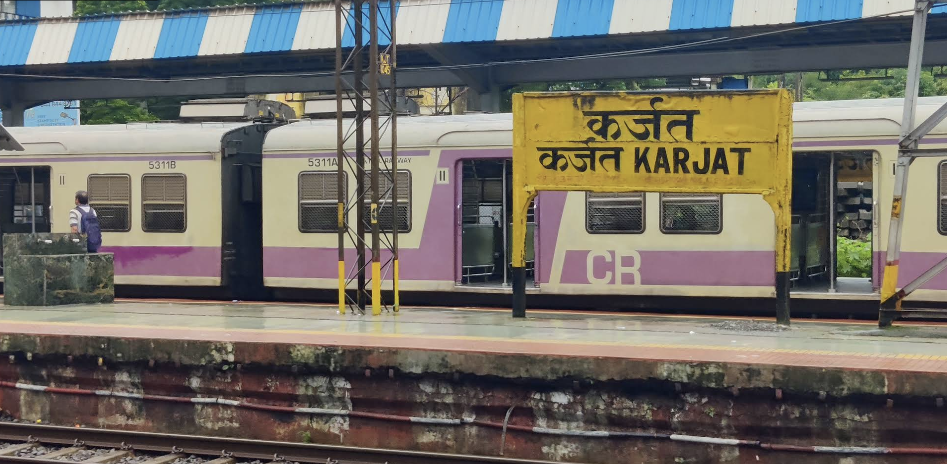
Karjat is a rapidly expanding Municipal Council town in the Raigad district of Maharashtra, serving as the strategic administrative gateway between the Mumbai Metropolitan Region (MMR) and Pune. While the official Census 2011 recorded 29,663 residents across 17 civic wards, the current 2026 estimated urban population has surged to approximately 43,000.
Fueled by major connectivity projects — most notably the ongoing Panvel-Karjat suburban railway line, the Mumbai-Pune Expressway link, and institutional township expansions — Karjat's demographic trajectory has transitioned from a sleepy rail terminus to one of MMR's fastest-growing residential and education corridors. Below is the verified census breakdown, ward-by-ward distribution, literacy matrix, and social profile.
Understanding Karjat: Municipal Council vs. Taluka
A frequent point of confusion among researchers, census analysts, and home buyers is the distinction between Karjat Municipal Council (Karjat Town) and Karjat Taluka (Sub-district):
Karjat Municipal Council (M Cl)
Urban Core · Focus of this Census ReportCovers the statutory urban boundary divided into 17 municipal wards. The council administers civic services for 6,820 houses (2011 baseline), managing municipal water supply, underground drainage, property taxation, street lighting, and local road development.
Karjat Taluka (Tehsil)
Sub-District · Raigad DistrictSpans an extensive geographic area of over 1,300 sq km, comprising the urban towns of Karjat and Neral, plus 170+ rural revenue villages and tribal hamlets. The overall taluka population exceeds 2.75 lakh residents.
Karjat Town Population Growth Trajectory (2011–2031)
The national decennial Census of 2021 was postponed nationwide due to the COVID-19 pandemic. Demographers and planning authorities project a steady 2.5% to 3.2% annual compounding growth for Karjat town, driven by suburban migration and infrastructure completion:
| Year | Estimated / Census Population | Data Source / Milestone Status |
|---|---|---|
| 2011 | 29,663 | Official Census of India (Released Benchmark) |
| 2021 | 38,000 | Projected Estimate (Scheduled Census postponed due to Covid) |
| 2022 | 39,000 | Interim Municipal Projection |
| 2023 | 40,000 | Interim Municipal Projection |
| 2024 | 41,000 | Interim Municipal Projection |
| 2025 | 42,000 | Interim Municipal Projection |
| 2026 | 43,000 | Current Working Population Estimate (Upcoming Census Benchmark) |
| 2027 | 44,000 | Post-Panvel-Karjat Rail Corridor Operational Window |
| 2028 | 45,000 | Forecasted Long-Term Growth |
| 2029 | 46,000 | Forecasted Long-Term Growth |
| 2030 | 47,000 | Forecasted Long-Term Growth |
| 2031 | 48,000 | Decennial Projection (~62% overall growth from 2011) |
Demographic Matrix: Karjat vs. Maharashtra Benchmarks
When evaluated against Maharashtra’s statewide metrics, Karjat Town demonstrates progressive social indicators, particularly in literacy and sex ratio:
| Demographic Metric | Karjat Town (M Cl) | Maharashtra State Average | Variance / Social Status |
|---|---|---|---|
| Total Population (2011) | 29,663 | 11.24 Crore | Statutory Municipal Council |
| Male Population | 15,248 (51.4%) | 5.82 Crore (51.8%) | Balanced Urban Gender Split |
| Female Population | 14,415 (48.6%) | 5.41 Crore (48.2%) | Balanced Urban Gender Split |
| Overall Sex Ratio | 945 females / 1,000 males | 929 females / 1,000 males | +16 (Higher than State Avg) |
| Child Population (0–6 Years) | 3,039 (10.25%) | 1.33 Crore (11.8%) | Healthy Youth Cohort |
| Child Sex Ratio (0–6 Years) | 917 girls / 1,000 boys | 894 girls / 1,000 boys | +23 (Significantly Superior) |
| Total Literacy Rate | 88.38% | 82.34% | +6.04% (High Literacy Town) |
| Male Literacy Rate | 91.65% | 88.38% | +3.27% above State Avg |
| Female Literacy Rate | 84.94% | 75.87% | +9.07% (Remarkable Empowerment) |
| Total Administered Houses | 6,820 Households | — | Avg Household Size: 4.35 persons |
Ward-Wise Population Breakdown: All 17 Municipal Wards
Karjat Municipal Council is divided into 17 wards for electoral and administrative governance. Civic elections take place every five years to elect municipal councilors (Nagar Sevaks). Below is the official Census population for each ward alongside 2026 calibrated estimates:
| # | Ward Name | 2011 Census Population | Estimated 2026 Population | % Share of Town |
|---|---|---|---|---|
| 1 | Karjat Ward No - 1 | 2,061 | ~2,990 | 6.95% |
| 2 | Karjat Ward No - 2 (Largest Ward) | 2,794 | ~4,050 | 9.42% |
| 3 | Karjat Ward No - 3 | 1,772 | ~2,570 | 5.97% |
| 4 | Karjat Ward No - 4 | 1,959 | ~2,840 | 6.60% |
| 5 | Karjat Ward No - 5 | 1,360 | ~1,970 | 4.58% |
| 6 | Karjat Ward No - 6 | 1,712 | ~2,480 | 5.77% |
| 7 | Karjat Ward No - 7 | 1,551 | ~2,250 | 5.23% |
| 8 | Karjat Ward No - 8 | 1,970 | ~2,860 | 6.64% |
| 9 | Karjat Ward No - 9 | 1,919 | ~2,780 | 6.47% |
| 10 | Karjat Ward No - 10 | 1,561 | ~2,260 | 5.26% |
| 11 | Karjat Ward No - 11 | 1,317 | ~1,910 | 4.44% |
| 12 | Karjat Ward No - 12 | 1,841 | ~2,670 | 6.21% |
| 13 | Karjat Ward No - 13 | 1,922 | ~2,790 | 6.48% |
| 14 | Karjat Ward No - 14 (Least Populated) | 1,046 | ~1,520 | 3.53% |
| 15 | Karjat Ward No - 15 | 1,739 | ~2,520 | 5.86% |
| 16 | Karjat Ward No - 16 | 1,406 | ~2,040 | 4.74% |
| 17 | Karjat Ward No - 17 | 1,733 | ~2,510 | 5.84% |
| Total Municipal Council Population | 29,663 | ~43,000 | 100.00% | |
* Note: Individual ward population estimates for 2026 reflect proportionate compounding growth aligned with municipal expansion; exact ward-by-ward redistricting data will be ratified upon conclusion of the next official census.
Religious Composition & Faith Demographics
Karjat reflects a rich multi-faith social fabric. Hinduism constitutes the primary religion, alongside substantial Buddhist, Muslim, and Jain communities that have shaped Karjat's cultural heritage, festivals, and architectural landscape:
Karjat's sizable Buddhist population (9.68%) is closely tied to historical Navayana Buddhist traditions across the Konkan belt, with multiple active viharas in and around the town. The Jain community (3.08%) has a prominent business presence in the station trading district and maintains revered pilgrimage landmarks, such as the renowned Naminath Bhagwan Jain Temple.
Work Profile & Economic Structure
In official census methodology, a worker is defined as a person engaged in any economically productive activity, including business, wage employment, professional services, cultivation, and labor:
9,287 individuals employed for 6 months or more in permanent services, trade, railways, or administration.
1,063 individuals engaged in seasonal agricultural labor, tourism hospitality, or construction.
The high concentration of Main Workers (89.73%) indicates strong formal employment stability. As a major railway junction on Central Railway's Mumbai-Pune corridor, a substantial portion of Karjat's working population commutes daily to corporate and commercial hubs across Navi Mumbai (Kalyan, Thane, Vashi, and Belapur), complemented by local agro-tourism, legal and government registry services, and college faculties.
Why Karjat's Population is Accelerating: Real Estate & Infra
Karjat's population transition from 29,663 in 2011 to an estimated 43,000 in 2026 is driven by structural economic shifts across MMR:
Exploring Property Investment in Karjat?
Read our definitive 2026 price guide covering NA plot benchmarks, collector layout approvals, and micro-market analyses.
Frequently Asked Questions (FAQs)
What is the estimated population of Karjat city in 2026?
The estimated population of Karjat Municipal Council in 2026 is approximately 43,000 residents, based on compounding demographic projections from the 2011 Census benchmark of 29,663. When accounting for the broader Karjat Taluka (which includes Neral and 170+ rural villages), the total population exceeds 2.75 lakh.
How many wards are there in Karjat Municipal Council?
Karjat Municipal Council is divided into 17 administrative wards. According to official Census data, Ward No. 2 is the most populated ward with 2,794 residents (~4,050 in 2026), while Ward No. 14 is the least populated with 1,046 residents (~1,520 in 2026).
What is the literacy rate of Karjat town?
Karjat city boasts an overall literacy rate of 88.38%, notably higher than Maharashtra’s state average of 82.34%. Male literacy stands at 91.65%, while female literacy reaches 84.94% (compared to the state average of 75.87%).
What is the female sex ratio in Karjat?
The female sex ratio in Karjat Municipal Council is 945 females per 1,000 males, surpassing Maharashtra's state average of 929. The child sex ratio (0–6 years) is 917 girls per 1,000 boys, which also exceeds the state average of 894.
What are the primary religious communities in Karjat?
In Karjat Town, 79.17% of residents are Hindu, followed by 9.68% Buddhist, 6.71% Muslim, 3.08% Jain, 1.17% Christian, 0.03% Sikh, and 0.17% adhering to other faiths or unstated.
When will the next official Census for Karjat take place?
The decennial Census of 2021 was deferred nationwide due to the COVID-19 pandemic. The upcoming official Census enumeration by the Government of India will formally update all ward demographics and replace existing municipal projections.
Urban researcher, demographic analyst, and publisher of the Karjat Land Buyer Guide series.